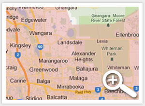
Incident information on road closures, crashes, bushfires, roadworks and events that may impact your trip can be found on our Travel Map. Whether you’re a local resident, tourist or commercial road user, find information that may affect you.
![Image: Closures & Roadworks - Travel Map Banner - Click Here [741x224px].PNG](https://www.mainroads.wa.gov.au/PublishingImages/Closures%20%5E26amp%5E3B%20Roadworks%20-%20Travel%20Map%20Banner%20-%20Click%20Here%20%5E5B741x224px%5E5D.RCN-D19%5E23991242.PNG)
Using our Travel Map
Use the detailed information, traffic cameras or live Google Traffic data by navigating the map, or click on the list view to see an accessible, easy to read text version.
You’re also able to ‘Plan a journey’ by entering a starting point and destination to see directions provided by Google Maps. View current alerts or select a future date to see planned roadworks that may affect your trip. For long and remote trips, turn on the rest stop filter to see available amenities along the roads you’re travelling on.
Know before you go! Visit our Travel Map and plan your trip to avoid delays.
Related links
Pedestrian and Cyclist Path closures
Current weather and cyclone warnings on the Bureau of Meteorology website
Warnings and incidents on the Department of Fire and Emergency Services Emergency WA map
Information on prescribed burns on the Park and Wildlife Service website